...
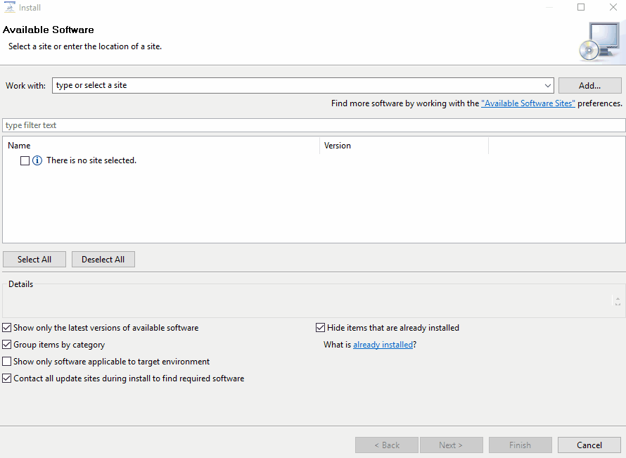
When you have downloaded Odysseus, you need to add a few plugins to your installation. Use "Help" → "Install New Software". Choose the predefined update URL and install every package for the following keywords: "spatial", "keyvalue" and "nmea".
Accessing Example Data
For this example, we use vessel AIS data from the San Francisco bay, which is provided by ais.exploratorium.edu (you can open this in a browser and see the raw AIS data). You use this query to access the data. Just create a new Odysseus Script file within Odysseus Studio and run this query (with the "green arrow down"-button). The query does access the raw AIS data, converts it into key-value objects, filters some data, converts it to a tuple and finally uses latitude and longitude data to create an geo-object. The latter can be used by Odysseus for spatial functionality. If you want to see the data, do the following: after running the query, you should see "System.SanFranciscoAIS" in the Sources-view. Right click and choose "Query source" to view the data.
...